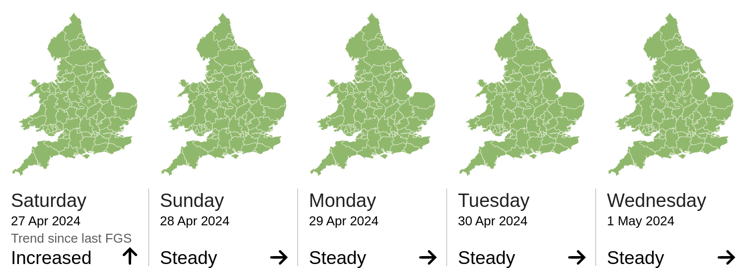
Daily Risk Forecast Maps
Forecast issued by the Met Office at 10:30am, Saturday 27th April
Local flooding is possible from surface water in the South of England and the Midlands today (Saturday) and Sunday, and in the North of England on Sunday. Land, roads and some properties may flood and there may be travel disruption.
The forecast flood risk across Wales for today and the next four days is very low.
The river flood risk is VERY LOW for the next five days.
The coastal/tidal flood risk is VERY LOW for the next five days.
The surface water flood risk is VERY LOW for the next five days.
Minor surface water flooding impacts are possible in parts of England later today (Saturday) and Sunday (See Areas of Concern Maps) and are possible but not expected in other parts of England on Sunday. This is due to heavy and persistent rain.
Impacts could include localised flooding from urban and fast responding smaller watercourses/catchments, drains, channels and flooding from overland flow.
The groundwater flood risk is VERY LOW for the next five days.
The level of the ongoing disruption caused by groundwater flooding in the South of England is not forecast to get worse, the flooding is being managed and awareness is high. Consequently the groundwater flood risk is VERY LOW.
Dorset, Bristol, N Somerset, Northamptonshire, Gloucestershire, S Gloucestershire, Herefordshire, Hampshire, Bournemouth, W Berkshire, Southampton, Reading, Devon, Warwickshire, Buckinghamshire, Bath and NE Somerset, Oxfordshire, Poole, Wiltshire, Worcestershire, Wokingham, Somerset, Swindon, Isle of Wight
Source and risk of potential flooding
Additional information: Surface water flooding impacts possible due to heavy and persistent rain.
Cheshire, Derby, Stoke-on-Trent, Dorset, S Yorkshire, Bristol, W Yorkshire, N Somerset, Shropshire, Nottingham, Northamptonshire, Gloucestershire, S Gloucestershire, Derbyshire, Herefordshire, Hampshire, N Yorkshire, Nottinghamshire, Bournemouth, Leicestershire, Telford and Wrekin, Leicester, W Berkshire, Southampton, Reading, Devon, Warwickshire, Staffordshire, Gtr Manchester, Buckinghamshire, Bath and NE Somerset, Oxfordshire, Milton Keynes, Poole, E Riding of Yorkshire, Wiltshire, Worcestershire, Wokingham, Somerset, W Midlands, Swindon, N Lincolnshire, Isle of Wight
Source and risk of potential flooding
Additional information: Surface water flooding impacts possible due to heavy and persistent rain.