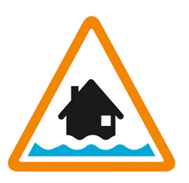
River levels are remaining high on the Colne Brook and Lower Colne due to recent heavy rainfall.
Potential further rainfall is forecast for tomorrow afternoon.
We will continue to monitor levels closely.
Avoid using low lying footpaths and any bridges near local watercourses and do not attempt to walk or drive through flood water.
This message will be updated by 10:00 AM on 01/05/2024, or as the situation changes.
Information supplied by the Environment Agency
This information last updated 4:35pm, Tuesday 30th April.
The Colne Brook at Iver and Colnbrook including Fulmer
Region: Herts and North London
Country: England
Counties covered: Buckinghamshire, Greater London, Hillingdon, Slough, Surrey, Windsor and Maidenhead
Watercourses covered: Colne Brook
The area bounded in blue on the map shows the area covered by flood alerts and warnings for Colne Brook at Iver and Colnbrook.
Note: the area shown on the map is the area covered by flood alerts and warnings. It is not a live map of current flooding. The area covered broadly equates to the area where the risk of flooding in any year is greater than 1% (the "hundred year" flood risk).

No current or recent warnings.
No current or recent warnings.
No current or recent warnings.
No current or recent warnings.
No current or recent warnings.